Current Storms:
Tropical Storm HAGUPIT
Updated May 08, 2026 at 12:00 UTC
Located at 8.7°N, 138.2°E
Minimum Pressure: 1002 mb
Maximum Winds: 35 kt
Radius of Maximum Wind: 30 nm
Environmental Pressure: 1007 mb
Storm Radius: 130 nm
Formerly Invest 93W
Current Conditions
Latest Satellite Image

Wind Radii
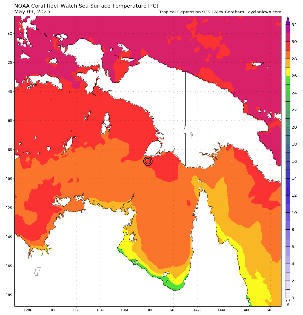
Sea Temperatures

Nearby METAR Stations

Forecasts
Latest Model Track Guidance

Latest Model Intensity Guidance

Official Forecast
Storm History

Pressure and Wind History

Tropical Depression 93S
Updated May 08, 2026 at 12:00 UTC
Located at 10.7°S, 81.2°E
Minimum Pressure: 1003 mb
Maximum Winds: 25 kt
Current Conditions
Latest Satellite Image

Sea Temperatures
Nearby METAR Stations

Forecasts
Latest Model Track Guidance

Latest Model Intensity Guidance

Storm History

Pressure and Wind History

Invest 95W
Updated May 08, 2026 at 12:00 UTC
Located at 5.3°N, 155.5°E
Minimum Pressure: 1007 mb
Maximum Winds: 15 kt
Current Conditions
Latest Satellite Image

Sea Temperatures

Nearby METAR Stations

Storm History

Pressure and Wind History

This page uses data from the National Hurricane Center (NHC) and Joint Typhoon Warning Center (JTWC), with best track files through the Automated Tropical Cyclone Forecast (ATCF) system. Microwave imagery courtesy of the U.S. Naval Research Laboratory.