Storm Floaters

Mesoscale Sectors

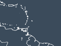
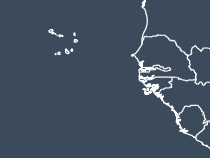
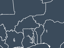
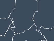
Satellite Sectors
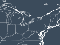
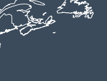
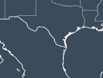
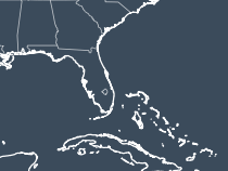
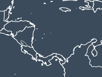
GOES-19

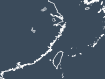
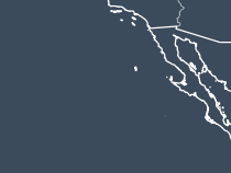
GOES-18

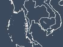
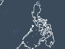
Himawari-9

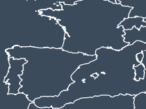
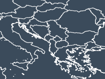
Meteosat-9

MTG-I1

Global Composite

MSFC GOES Loops
Satellite:
Sector:
Band:
Zoom (higher is zoomed out):
Latitude: Longitude:
Use Latitude/Longitude of Storm
Color Palette:
Satellite:
Sector:
Band:
Zoom (higher is zoomed out):
Latitude: Longitude:
Use Latitude/Longitude of Storm
Color Palette:
Satellite images here are made with GOES-19 and GOES-18 data from NOAA & Amazon, Himawari-9 data from JMA & Amazon, and Meteosat-9 data from EUMETSAT.


These images are made from MetOp-B and C data from EUMETSAT.