Invest 92P
Updated March 05, 2026 at 18:00 UTC
Located at 14.2°S, 133.6°E
Minimum Pressure: 1002 mb
Maximum Winds: 15 kt
Current Conditions


Storm History


Tropical Depression TWENTYFIVE
Updated March 05, 2026 at 18:00 UTC
Located at 12.9°S, 120.2°E
Minimum Pressure: 1000 mb
Maximum Winds: 30 kt
Current Conditions


Forecasts
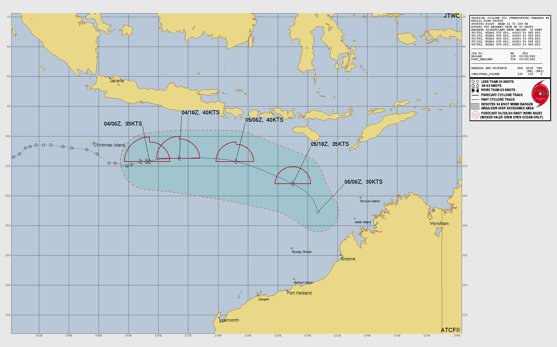
Storm History


Tropical Depression 93S
Updated March 05, 2026 at 18:00 UTC
Located at 17.2°S, 114.6°E
Minimum Pressure: 998 mb
Maximum Winds: 30 kt
Current Conditions

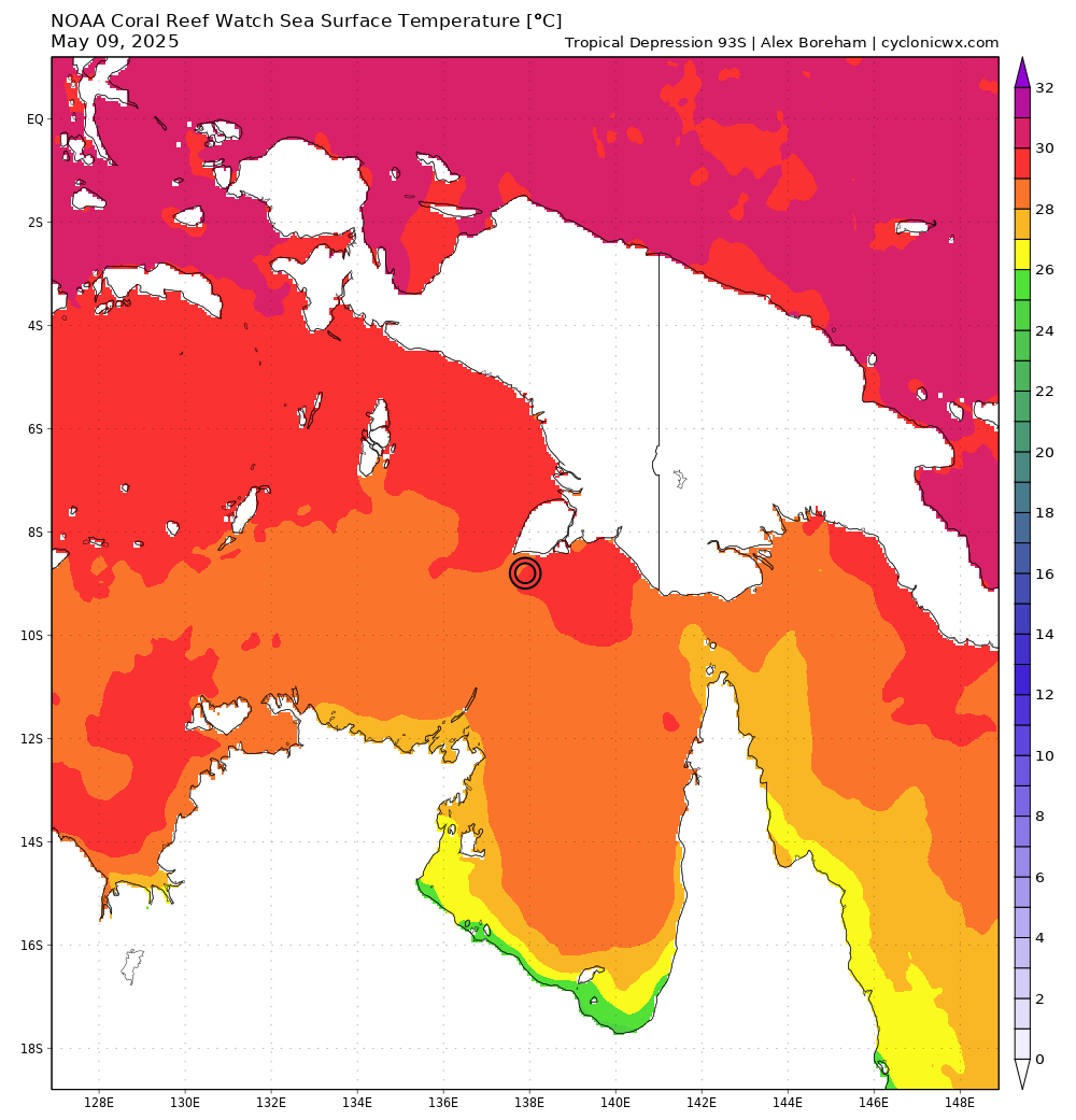
Storm History


Tropical Depression TWENTYFOUR
Updated March 05, 2026 at 18:00 UTC
Located at 16.2°S, 146.8°E
Minimum Pressure: 1000 mb
Maximum Winds: 25 kt
Current Conditions


Forecasts


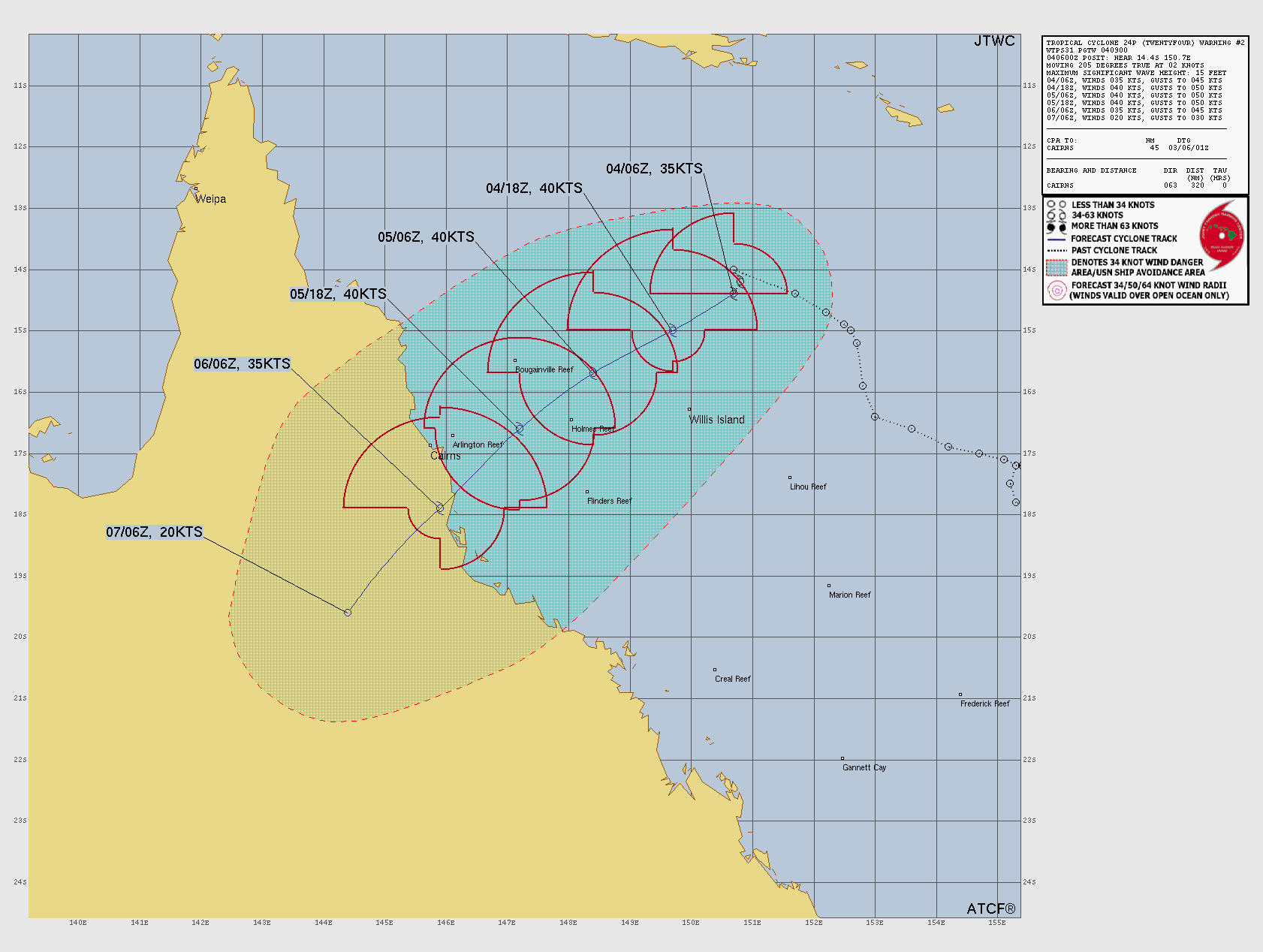
Storm History


Invest 95W
Updated March 05, 2026 at 18:00 UTC
Located at 5.5°N, 146.9°E
Minimum Pressure: 1008 mb
Maximum Winds: 15 kt
Current Conditions


Storm History


This page uses data from the National Hurricane Center (NHC) and Joint Typhoon Warning Center (JTWC), with best track files through the Automated Tropical Cyclone Forecast (ATCF) system. Microwave imagery courtesy of the U.S. Naval Research Laboratory.